 |
Yorktown, VA to McKenzie Bridge, OR, Completed 3,970 miles
Average 71 Miles/Day, Estimated Finish July 12, 2015 |
 |
| Biking Detail Prineville, OR to Mckenzie Bridge, OR |
Day 58 Wednesday, June 8
Left Prineville at 6:15. Legs had an unexpected wake-up with a 2 mile 6% climb out of town on 126...not really reflected on the ACA elevation map. LOTS of morning traffic on 26 in both directions on two lane highway with very small shoulder. Must have been morning commute, but pretty nerve racking. Shoulder much wider after Redmond which was good because traffic still heavy on ride to Sisters. Was nice to get our first glimpse of the Cascades as we rose out of Prineville this AM. Three Sisters and Mt.Hood becoming more and more prominent as we headed west. Seeing the Cascades made me feel like we were almost home!!
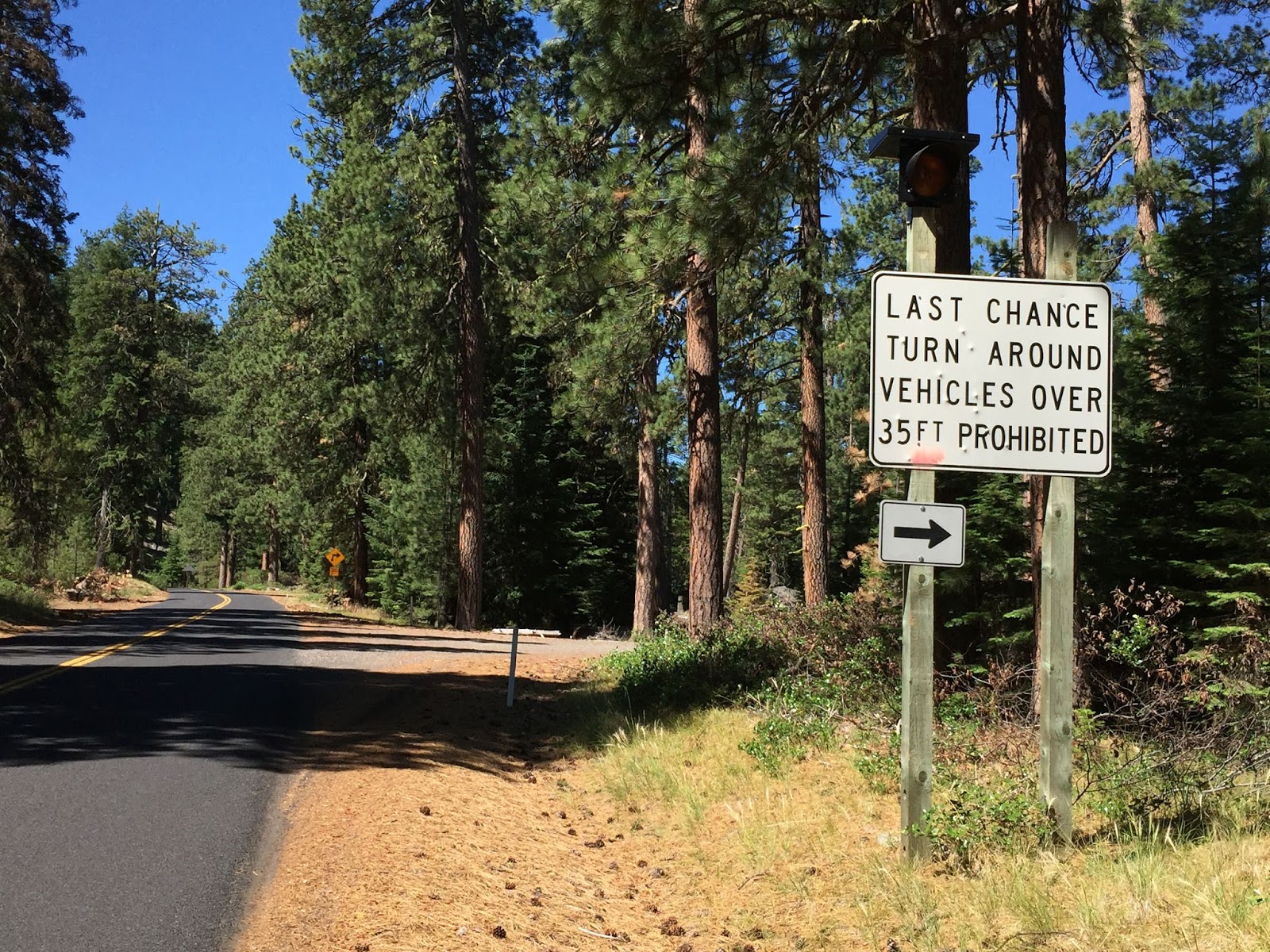
Got to town of Sisters and opted to take the main route over McKenzie Pass. Alternate route over Santium Pass has less elevation but 11 miles longer. So glad made decision to go over McKenzie. Road is restricted to smaller vehicles...no trucks or RVs to contend with. You share the traffic lane (no shoulder) but was not a problem. This pass is spectacular! Most beautiful ride of the trip for me. The snow-capped Three Sisters, Mt.Washington in the distance, the craters and lava fields at the top, and the lush green forests on both sides of the pass. Incredible biking. Road winds through the lava fields.
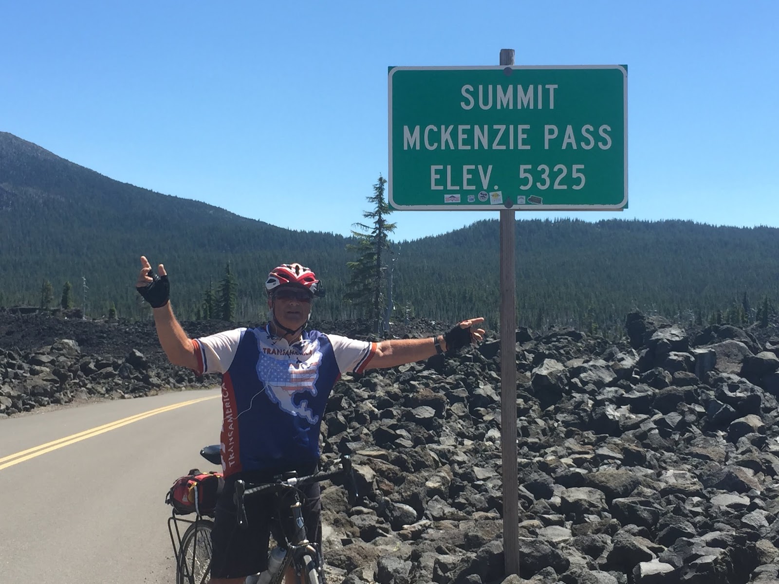
Coming down was close to 20 miles of 15-35 MPH curves. Last big pass of the trip and the most beautiful...saved best for last. Only reason to use the alternate route over Santium would be if McKenzie pass is closed!!!!! Stayed at Horse Creek Lodge in McKenzie Bridge. Awesome fully equipped cabin and reasonable. Got there at 1:30 and had the afternoon to enjoy the beautiful setting.
 |
| First View of the three Sisters |
 |
| Not much happening here |
 |
| Improved road and shoulder between Redmond and Sisters |
 |
| Good view of Mt Hood 200 miles North |
 |
| Staring the climb from Sisters, into the pine forest |
 |
| No trucks or huge RV's allowed, means nice riding |
 |
| Water break time, no shoulders and no traffic |
 |
| SAG lady and me enjoying the ride |
 |
| I never seem to catch the white SUV, Margie signals to pick up the pace |
 |
| Lava field near the top of the pass |
 |
| Explanation for the lava flows 1500 years ago |
 |
| One of the sisters with lava flow in front |
 |
| Enjoying the view |
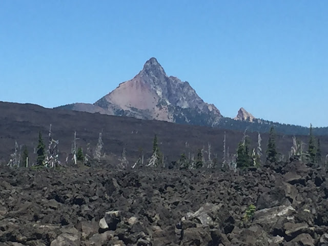 |
| Nicely jagged peak |
 |
| Observatory on top made from lava rock |
 |
| Last pass on Transamerica Trail, 5,325 ft |
 |
| Margie and I celebrate at the top! |
 |
| Quick ride down for 26 miles |
 |
| Last view as we head down |
 |
| Our cabin at Mckenzie Bridge |


No comments:
Post a Comment